Reps, Save The Bay sound alarm over beach closures


Deprecated: Function get_magic_quotes_gpc() is deprecated in /hermes/bosnacweb08/bosnacweb08bf/b1577/ipg.rifuturecom/RIFutureNew/wp-includes/formatting.php on line 4387

Deprecated: Function get_magic_quotes_gpc() is deprecated in /hermes/bosnacweb08/bosnacweb08bf/b1577/ipg.rifuturecom/RIFutureNew/wp-includes/formatting.php on line 4387
Stormwater runoff, filled with non-point source pollution, is spilling into Greenwich Bay.

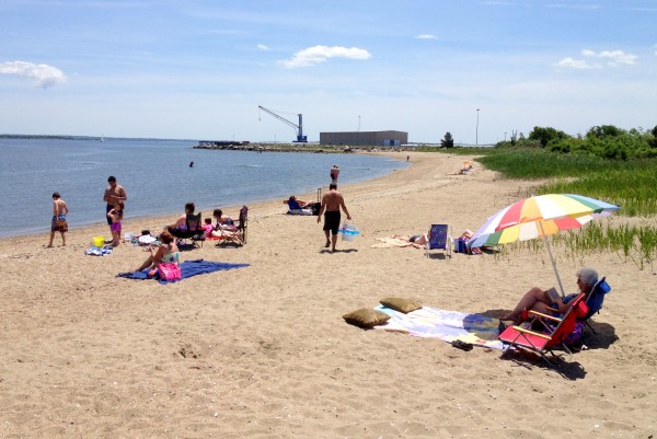
State legislators from around the West Bay and Save The Bay are holding an event Wednesday to bring attention to the high number of beach closures this year and the potential of another devastating fish kill in Upper Narragansett Bay and Greenwich Bay this summer.

“Beach closures are running at a record-breaking pace this summer. Growing dead zones are setting up the Bay for a low-oxygen event as severe and widespread as the Greenwich Bay fishkill that occurred 10 years ago,” according to a press release from Save The Bay. ”

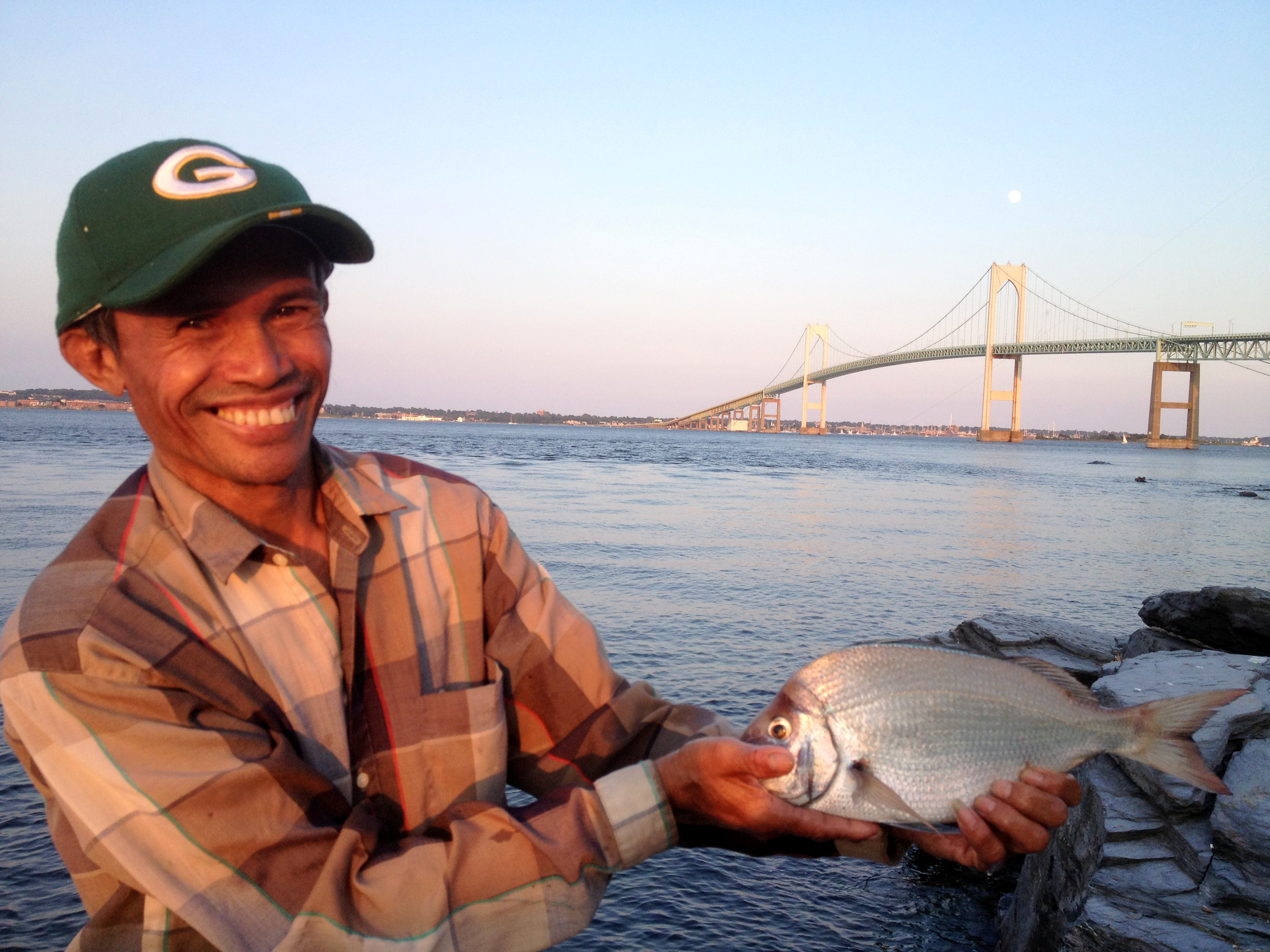
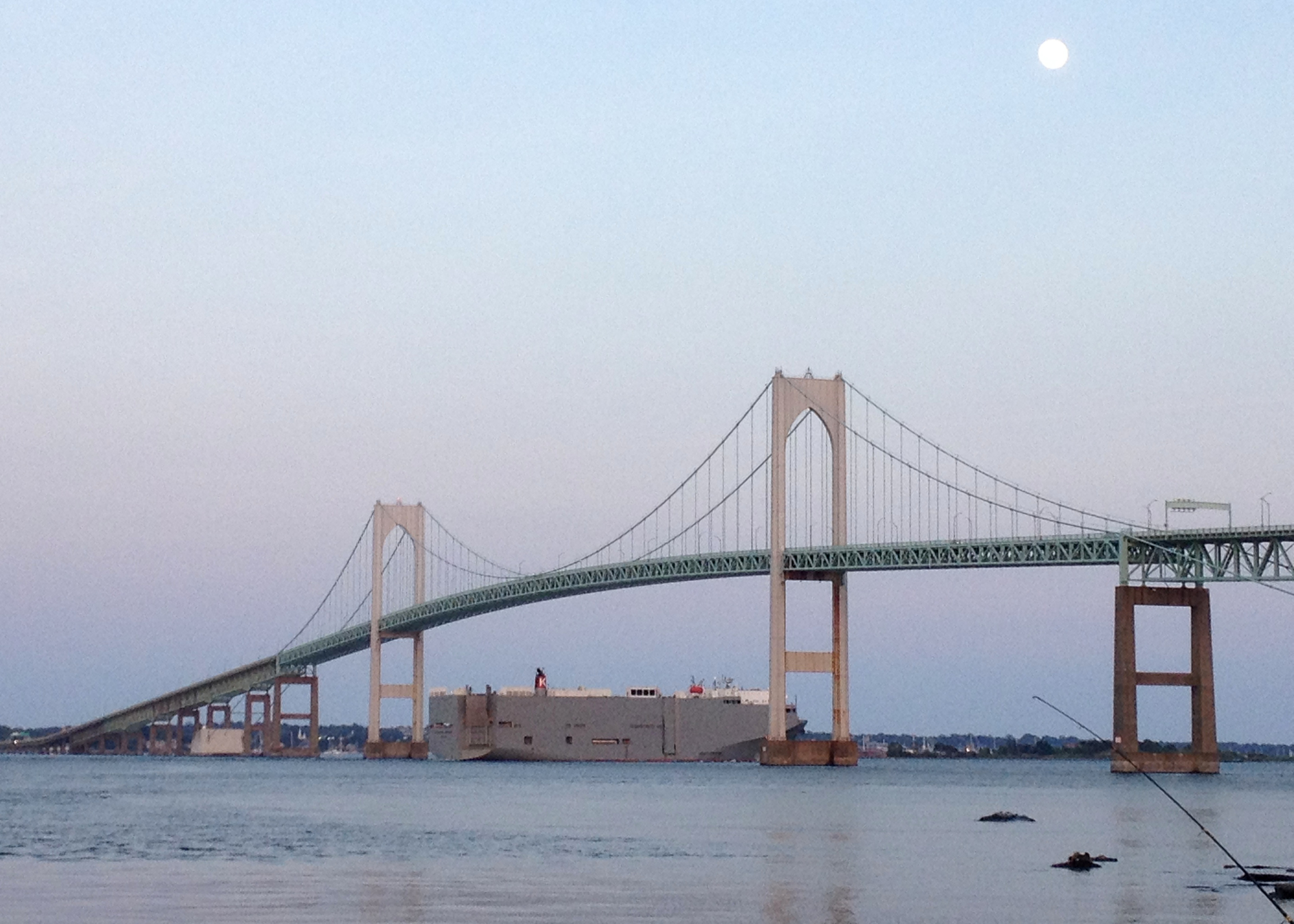
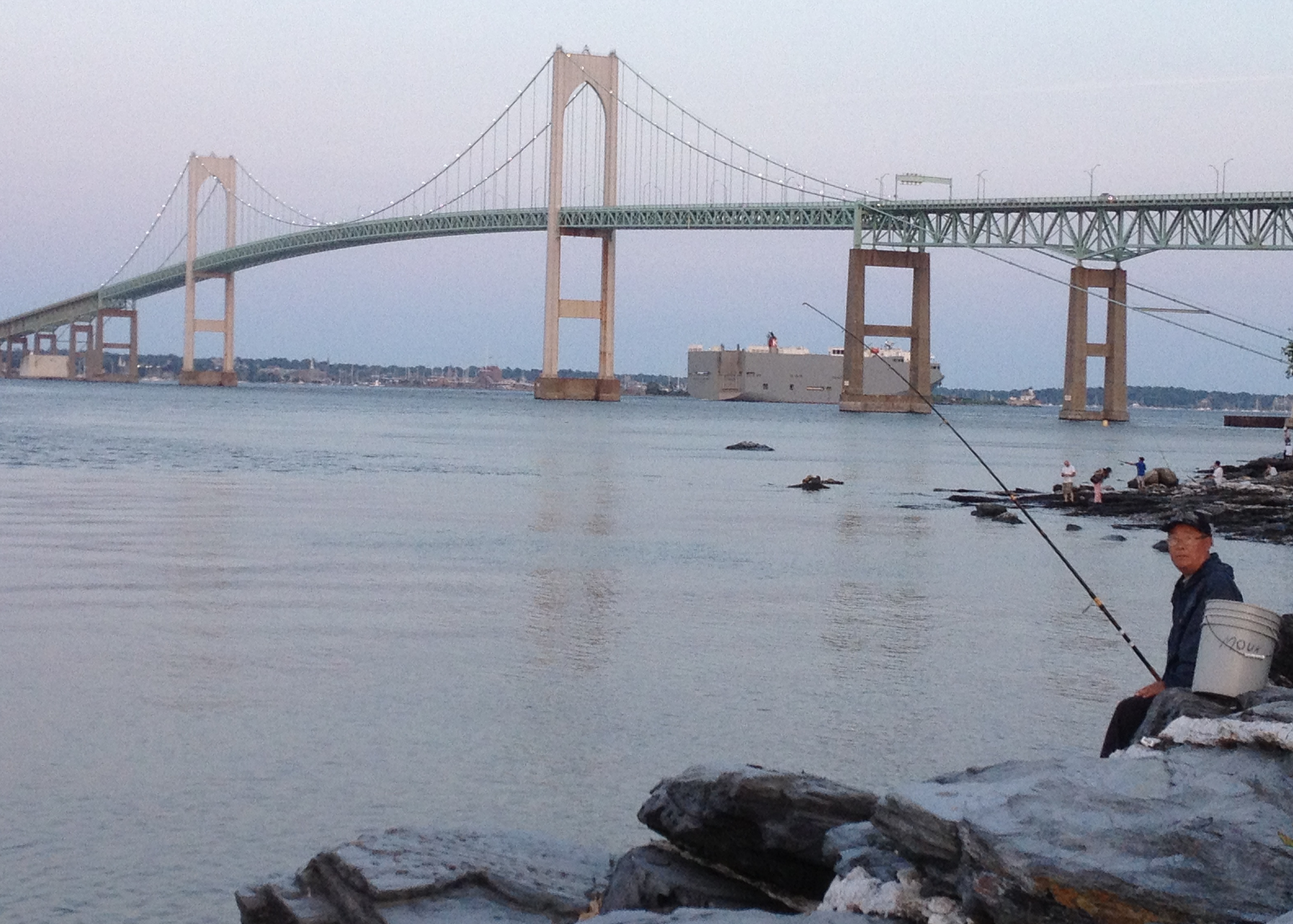
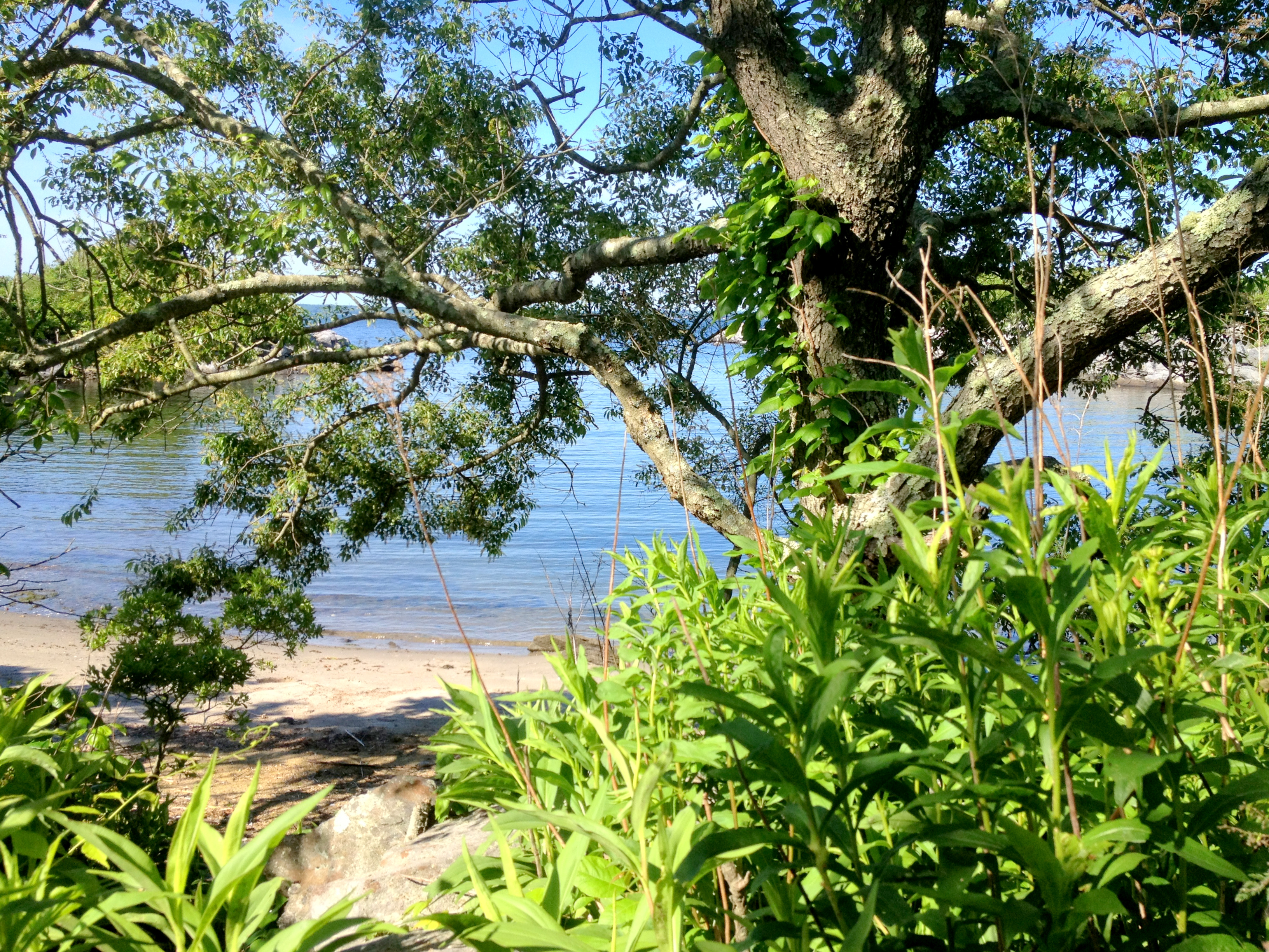
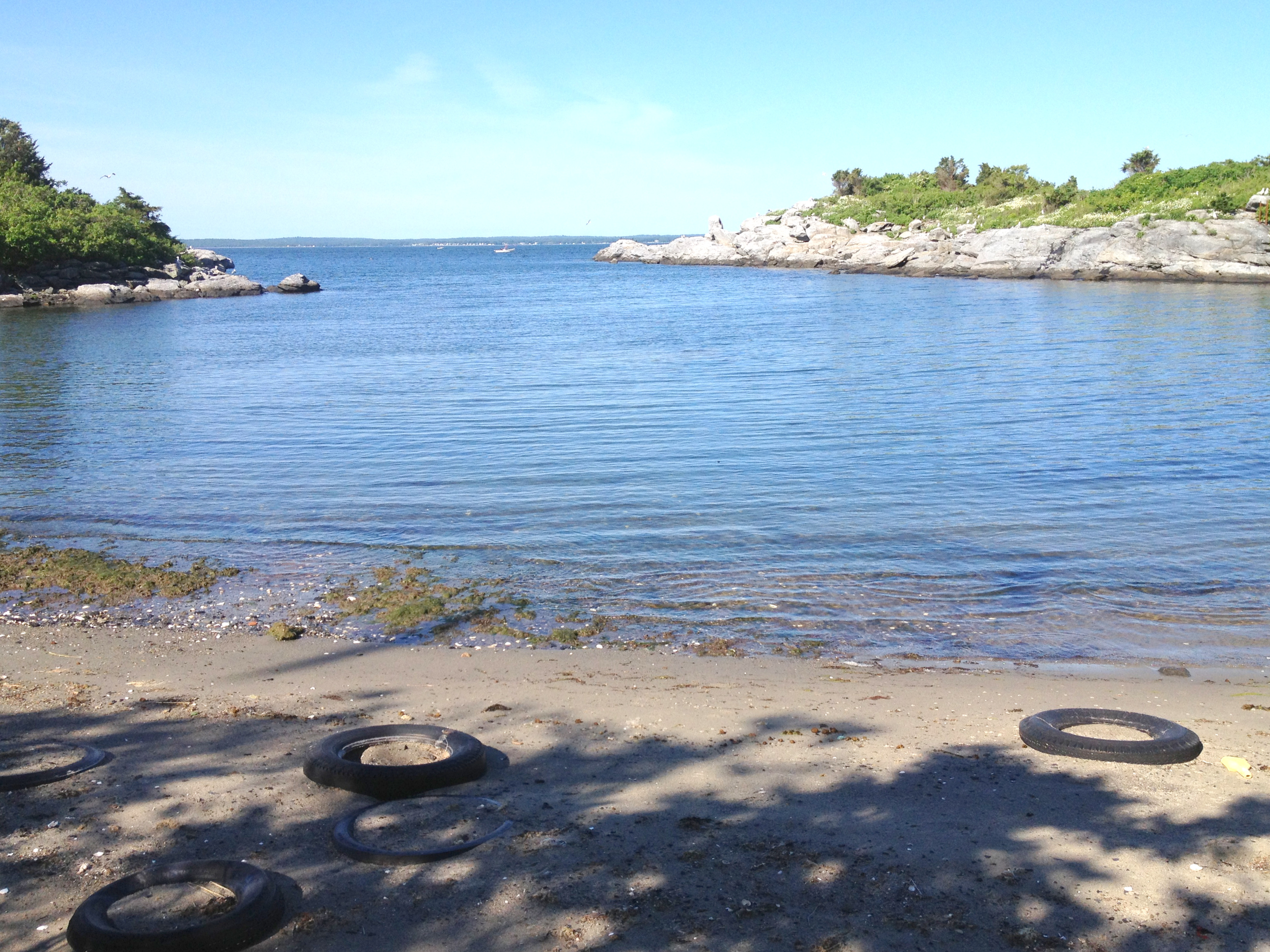
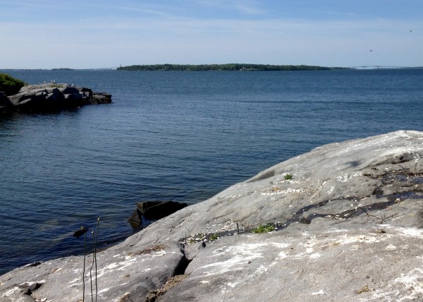
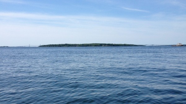
Tom Kutcher and Jonathan Stone of Save The Bay will be joined by progressive state Reps. Teresa Tanzi, of Narragansett, Frank Ferri, of Warwick and Art Handy of Cranston at Oakland Beach on Greenwich Bay in Warwick, not far from where similarly hypoxic conditions in 2003 killed more than million fish.

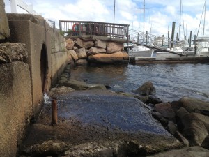
Hypoxia is the scientific term for low oxygen levels in water. In Narragansett Bay, it is caused when lawn fertilizer pet waste and other non-point sources of nitrogen leach into The Bay and cause rapid plant growth that starves fish and other sea creatures of oxygen.

“Rhode Island depends on Narragansett Bay for recreation and commerce,” said the release. “An unhealthy Bay limits economic and recreational opportunities.”

RI Future early last week that beach closures “have been alarmingly high this year.” We also reported last week that DEM officials were concerned about the potential for another fish kill, like the one that happened in 2003.

Conditions ripe for another Narragansett Bay fish kill


Deprecated: Function get_magic_quotes_gpc() is deprecated in /hermes/bosnacweb08/bosnacweb08bf/b1577/ipg.rifuturecom/RIFutureNew/wp-includes/formatting.php on line 4387

Deprecated: Function get_magic_quotes_gpc() is deprecated in /hermes/bosnacweb08/bosnacweb08bf/b1577/ipg.rifuturecom/RIFutureNew/wp-includes/formatting.php on line 4387
A rainy, hot summer combined with warmer than average water temperatures and high levels of run-off nitrogen levels in the Bay is a perfect storm for another fish kill.

Upper Narragansett Bay and Greenwich Bay are on high alert because of low oxygen levels in the water that could result in a fish kill, according to state water quality officials and other environmental experts.

“We’re seeing some significant hypoxic events,” said Sue Kiernan, the deputy chief of the DEM’s water quality division. As for the potential for a second devastating fish kill, Kiernan added, “We’re definitely tracking conditions very closely because of our concerns for that.”

Hypoxia is the scientific term for low oxygen levels. Lawn fertilizer, pet waste and other suburban sources of nitrogen run-off cause abnormal plant growth in Narragansett Bay,which in turn starves fish and other marine life of the oxygen they need to survive. In 2003, hypoxia caused a massive fish kill in Greenwich Bay that killed more than a million of fish countless other sea life.

“Over the past several weeks we’ve been seeing widespread low oxygen events from the Seekonk and Providence rivers to the Quonset area,” said Heather Stoffel, who monitors these areas for the state through the URI graduate school of Oceanography.

While fish haven’t started dying yet, as happened in 2003, Save The Bay Baykeeper Tom Kutcher told me many dead crabs are being found around Prudence Island. Commercial fisherman from Greenwich Bay have told me they too have seen many dead blue crabs this summer. In fact, dead blue crabs are visible in the shallows of Greenwich Cove.

While state officials were reluctant to compare this year to 2003, saying they don’t have a full season’ worth of data yet, Kutcher, a coastal ecologist, said he has analyzed the data to date and the conditions “seem worse or at least equal” to 2003.

In 2003, the Ocean State made international news when a mass death of menhaden, a small bait fish, occurred in Greenwich Bay. This year, the conditions are similar to 2003 in the East Bay and upper Bay.

“The Bay is speaking to us,” Kutcher said. “Someone needs to ring an alarm bell.”

The East Greenwich sewer treatment plant on Greenwich Cove.


Narragansett Bay is in dire straits this summer


Deprecated: Function get_magic_quotes_gpc() is deprecated in /hermes/bosnacweb08/bosnacweb08bf/b1577/ipg.rifuturecom/RIFutureNew/wp-includes/formatting.php on line 4387

Deprecated: Function get_magic_quotes_gpc() is deprecated in /hermes/bosnacweb08/bosnacweb08bf/b1577/ipg.rifuturecom/RIFutureNew/wp-includes/formatting.php on line 4387
Stormwater runoff, filled with non-point source pollution, is spilling into Greenwich Bay.

“Right now we are in the midst of a low-oxygen event more severe and widespread than the one that spawned the famous 2003 fish kill in Greenwich Bay,” reported Save The Bay Baykeeper Tom Kutcher in the Providence Journal yesterday. “No dead fish yet, but we’ve been seeing dead blue crabs around Prudence Island.”

I’ve been seeing dead blue crabs here in my neck of Narragansett Bay, too. Picture to follow. But dangerously high levels of pollutants in Naragansett Bay is a state-wide crisis.

Beach closures, as RI Future previously reported, have been alarmingly high this year. They’ve happened as far south as Narragansett Town Beach and three East Bay beaches were closed yesterday.

“Obviously this is an indication that something is not right with our water,” said Dara Chadwick, a spokeswoman for the Department of Health, the state agency that monitors water quality for human safety. DoH maintains an interactive map of beach closures. It also has an overview page for beach health concerns.

When it rains all the toxic chemicals we put on our lawns, on our roads and into our old septic systems drain into the Bay. This causes plants to overproduce and fish to die. When fish die, two of the Ocean State’s most important economic sectors are severely hampered: commercial fishing and tourism/recreation.

Here’s how Kutcher put it in his ProJo piece:

In areas surrounding the Bay, we have innumerable streets, driveways and parking lots. During all weather, these surfaces collect pet waste, fluids dripping from our cars and chemicals running off our lawns. During a rainstorm, this all runs directly into the water at your local beach; that is, unless your town has adopted a storm-water-management strategy, such as tearing up pavement and replacing it with soil and plants that clean the water before percolating toward the Bay. But this probably isn’t the case.

Earlier this week I reached out to Meg Kerr, a local environmental scientist and president of the Environmental Council of Rhode Island, about this very same issue. She is organizing a conference call with other experts to speak to the issues.

Save The Bay has successfully saved The Bay from the detrimental effects of industrialization, but now Save The Bay needs to save The Bay from the equally detrimental effects of suburban sprawl.

Summer scup fishing under the Newport Bridge

Even on the summer solstice, there is rarely a Jamestown resident at Taylor Point, sometimes called “pew view” because of its proximity to the sewage treatment plant. But it’s one of the more popular fishing spots for those who come to Conanicut Island  from the mainland.

The Newport Bridge from Potter Point.
A man casts from the rocks.
He's happy about his scup.
He’s happy about his scup.
Casting towards Gould Island.
Scup at sunset.
Scup at sunset.
Watching a tanker go out to sea.
Tanker under the Newport Bridge.
Going out to sea.
Going out to sea.

A double rainbow over Greenwich Cove


Deprecated: Function get_magic_quotes_gpc() is deprecated in /hermes/bosnacweb08/bosnacweb08bf/b1577/ipg.rifuturecom/RIFutureNew/wp-includes/formatting.php on line 4387

Deprecated: Function get_magic_quotes_gpc() is deprecated in /hermes/bosnacweb08/bosnacweb08bf/b1577/ipg.rifuturecom/RIFutureNew/wp-includes/formatting.php on line 4387

Here’s hoping that yesterday’s double rainbow signals an end to the very wet June that gardeners have enjoyed at the expense of beach bums.

rainbowrainbow2

Pollution closes seven Rhode Island beaches


Deprecated: Function get_magic_quotes_gpc() is deprecated in /hermes/bosnacweb08/bosnacweb08bf/b1577/ipg.rifuturecom/RIFutureNew/wp-includes/formatting.php on line 4387

Deprecated: Function get_magic_quotes_gpc() is deprecated in /hermes/bosnacweb08/bosnacweb08bf/b1577/ipg.rifuturecom/RIFutureNew/wp-includes/formatting.php on line 4387
Stormwater runoff, no doubt filled with non-point source pollutiion, is spilling into Greenwich Cove and closing my favorite beach at Goddard Park.
Stormwater runoff, no doubt filled with non-point source pollution, is spilling into Greenwich Cove and closing my favorite beach at Goddard Park.

While all the rain might be good for gardeners, it’s bad news for beach bums. After a very wet week in the Ocean State, seven of our best beaches are currently closed for swimming.

“It’s not unusual to see elevated bacteria counts after heavy rain, which explains this week’s closures to swimming,” said Dara Chadwick, the spokeswoman for the state Health Department.

She directed me to this really cool interactive map where you can see for yourself which beaches are closed. From north to south, they are: Barrington Beach, Conimicut Point, City Park, Oakland, Goddard Park, North Kingstown and Narragansett town beaches. (note: some inaccuracies on map)

So why do we get bacteria in the Bay after wet weather?

Rhode Island doesn’t have to worry about big factories dumping pollutants directly into the Bay anymore, but it does still suffer from what’s called “non-point source pollution.” All sorts of lawn fertilizers, oils and other environmental toxins – even pet poop – gets washed from our roads and lawns into Narragansett Bay. When we get a lot of rain, the Bay becomes too polluted to swim in; all that bacteria can make us pretty sick.

If the bacteria level gets too high, the effects become catastrophic for the native species, rather than just inconvenient for human recreation – as happened in the infamous 2003 Greenwich Bay fish kill.

Rep. Teresa Tanzi introduced a bill this year that would lower non-point source pollution by phasing out septic tanks in Rhode Island.

Save The Bay spokesman Peter Hanney said, “This is important because cesspools – simple drums in the ground with no treatment of waste – pollute ground and surface water, well and drinking water supplies, and beaches where people swim.”

Hope Island is for the birds


Deprecated: Function get_magic_quotes_gpc() is deprecated in /hermes/bosnacweb08/bosnacweb08bf/b1577/ipg.rifuturecom/RIFutureNew/wp-includes/formatting.php on line 4387

Deprecated: Function get_magic_quotes_gpc() is deprecated in /hermes/bosnacweb08/bosnacweb08bf/b1577/ipg.rifuturecom/RIFutureNew/wp-includes/formatting.php on line 4387

This is the most isolated beach in the Ocean State:Hope Island beach

2013-06-014

It’s more than a mile and a half from anything other than salt water, in any direction, and there are no roads you can take to get there and there aren’t even any footpaths once you get here. The only way to get here other than a boat is to swim.

This beautifully lonely beach on the back side of this protected cove on tiny uninhabited island Hope Island in the middle of Narragansett Bay.

Hope Island cove

hope island riHope Island is smaller than a football field and equally as far from Quonset Point as it is from Prudence Island. There’s nothing on it, other than some coastal vegetation and birds. Lots of birds. It’s as thik with gulls and egrets and ibises and heron as anywhere else in the state is with people.

Preferring the company of the former on weekends, I took my kayak over from a public beach in the Quonset/Davisville neighborhood Sunday morning, having always wondered about that all-too-inviting swimming hole on its southern side.

hope island aerial

Legend has it there’s an old abandoned farm site on the northern side of the island that no one knows too much about and, like almost every rock that stays dry at high tide in Narragansett Bay, there was once a military presence on it.

These days it’s not only uninhabited, people aren’t even allowed there from April through mid-August. I found this out from the North Kingstown harbormaster who paid me a visit after I had breakfast and a swim at this beach.

Hope Island

2013-06-019Along with Dyer, Patience and parts of Prudence, Hope Island is a part of the federally protected, and monitored, Narragansett Bay National Estuarine Research Reserve.  Hope Island is the only island in the Reserve to be seasonally restricted to people, maybe the only publicly-owned island in Narragansett Bay. With good reason. It may be small, but it’s one of the most important nesting grounds for wading birds in the state.

Just listen to all the birds in this video from the eastern side of the island.

In the winter, it’s a really popular spot for the seals. Rocky, deep water and no humans; what more could a seal want. And you wouldn’t know it from these two pictures, but it’s known as hot spot for stripers in the summer. I think this is around where they say some of the last lobsters in the Bay are left.

Hope Island looking southIn both pictures, that’s Jamestown straight ahead, and you can see the bridges on either side of the land mass.
Hope IslandAnd this is the beach where I returned to the mainland…

Spinx Head Beach


Deprecated: Function get_magic_quotes_gpc() is deprecated in /hermes/bosnacweb08/bosnacweb08bf/b1577/ipg.rifuturecom/RIFutureNew/wp-includes/formatting.php on line 4387