
Prudence Island is in some ways the center of Rhode Island. It’s as close to the West Bay as it is to the Eat Bay, and from its various shores one can see the Newport Bridge to the south, the Providence skyline to the north, Brayton Point to the east and Quonset Point to the west. But without a boat, you can’t get to any of these places. More to the point, no one from those places can get to you. It’s as if Martha’s Vineyard and the north slope of Alaska had a baby: as beautiful as anywhere in New England and equally as secluded.
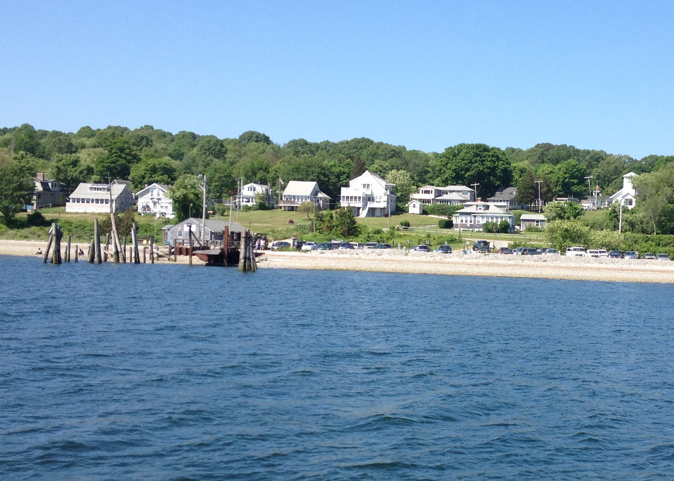
There is, however, a ferry that, for the time being, leaves from Bristol. Take it while you can because the owner plans to retire soon. Though it’s not hard to imagine what the not-so-bustling village will do without a daily boat to ebb and flow the island’s daily population of a few hundred year-round residents, and that’s pretty much the same thing it does now with ferry service: not much. When I got to the island at 10:15 on Saturday morning, a woman at the store told me the Del’s machine wouldn’t be working until later in the day, and when I made it back just in time for the 4 p.m. ferry, the last of the day, it still wasn’t working yet.
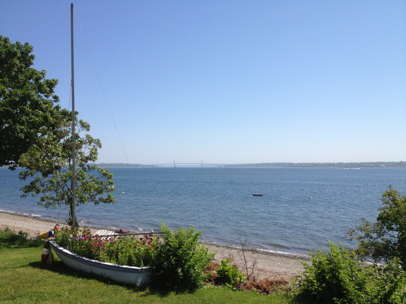
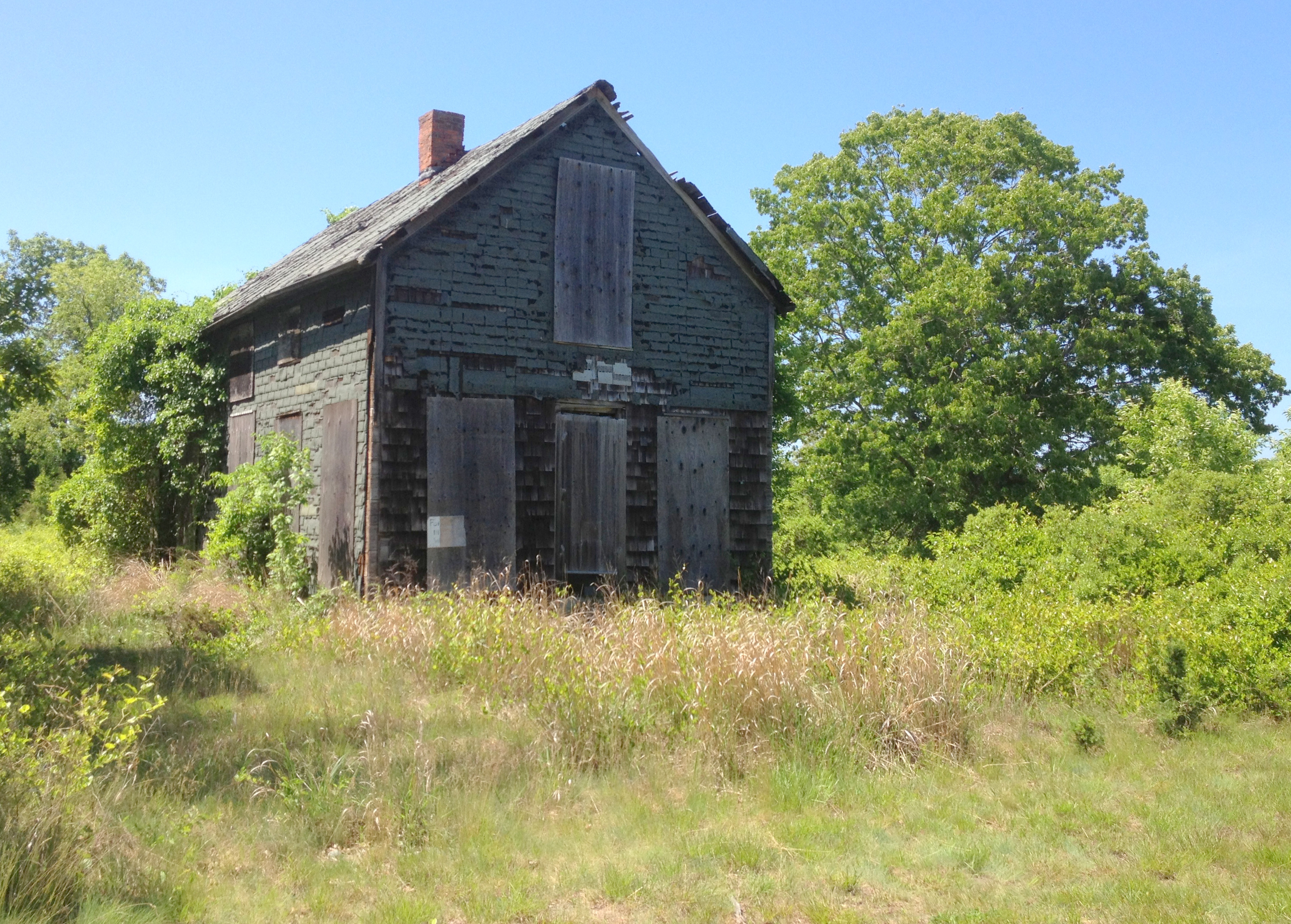
Prudence Island is like Block Island with no bars, restaurants and shops. Outside of the general store, and another one that I didn’t see, there is no commerce on the island. Or, at least, there’s no clear way for visitors to participate in it other than a handful of for rent or for sale signs on some old seemingly abandoned beach cabins. That’s okay, I didn’t come to shop. I came to lie on the beach – which I did as soon as I found this lighthouse.
 Like so many modern-day Rhode Islanders, the Narragansett Indians only summered here, coming for the great fishing and quahogging. They called it Chibachuweset and Roger Williams renamed it Prudence when he bought it in 1637.
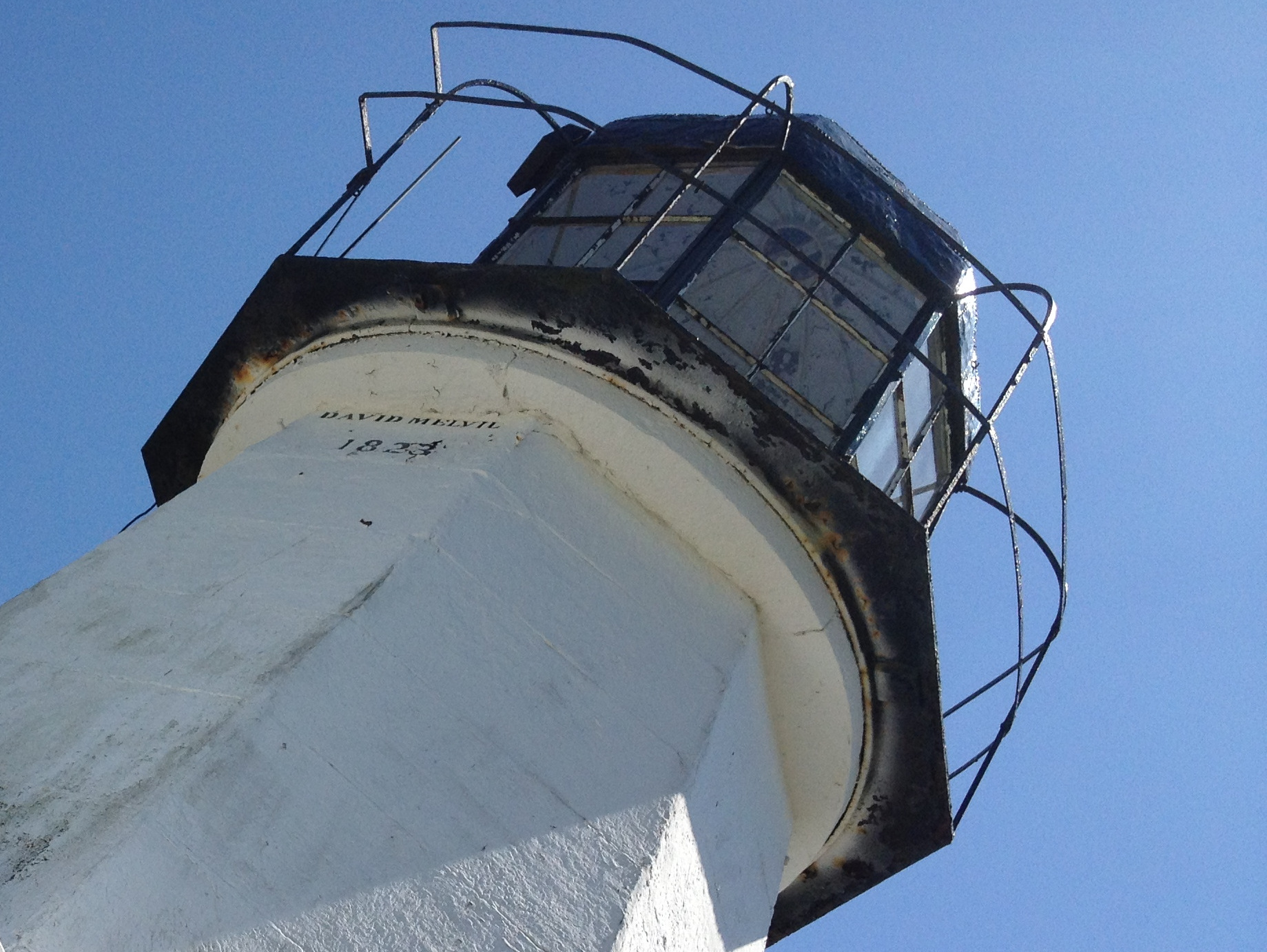
Colonists grazes livestock here but the British burned all the buildings to the ground during the Revolution. Even in a place with such as Prudence Island, reconstruction happens; this lighthouse was evidently built in 1823, by a fellow named John Melvil.
The saying goes that there are more deer than people. While I can’t confirm or deny that, I can report that I saw only two deer and I saw at least ten people in my six hour trip. Though, every deer I saw ran away and every person I saw waved, so make of that what you will.
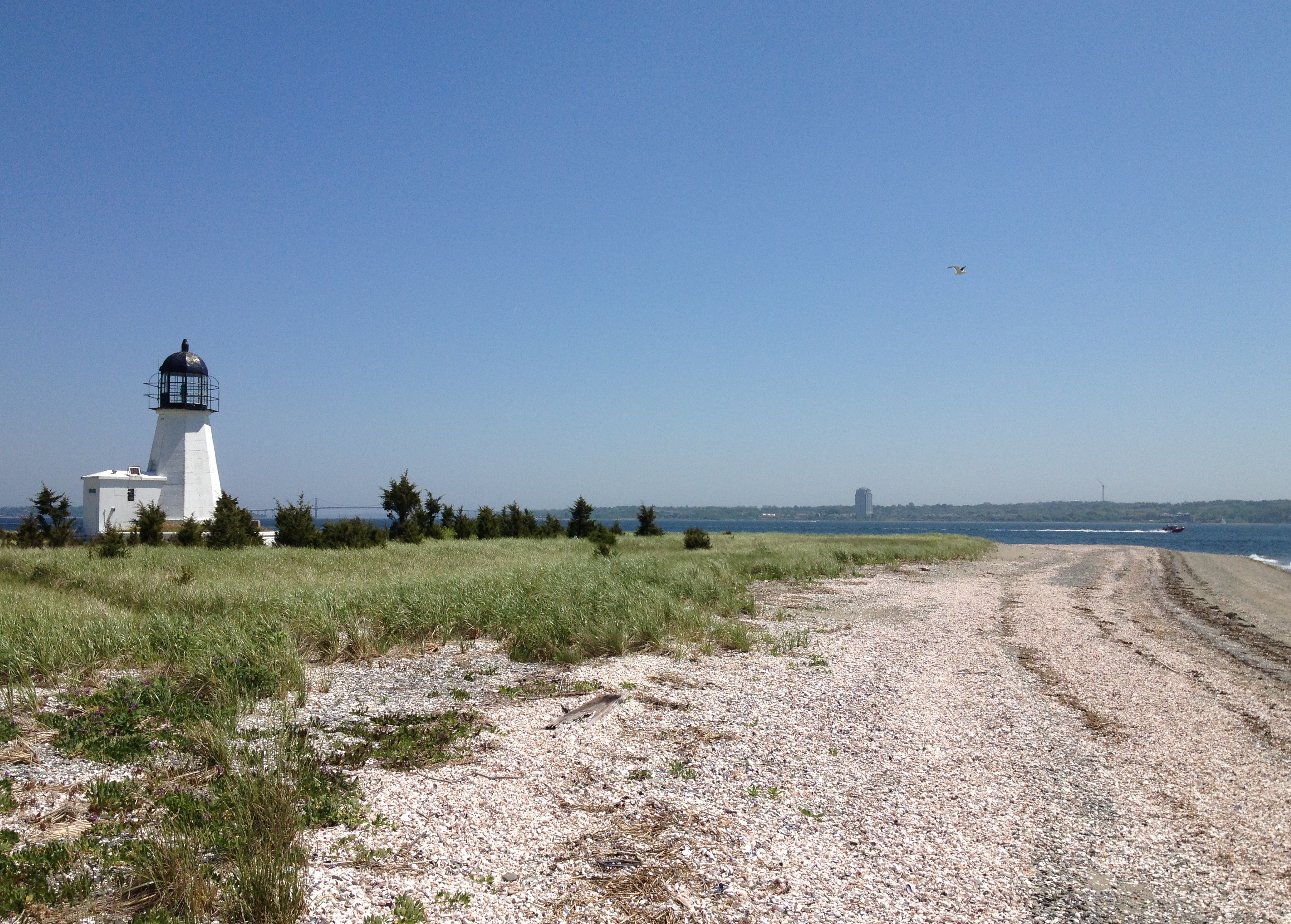
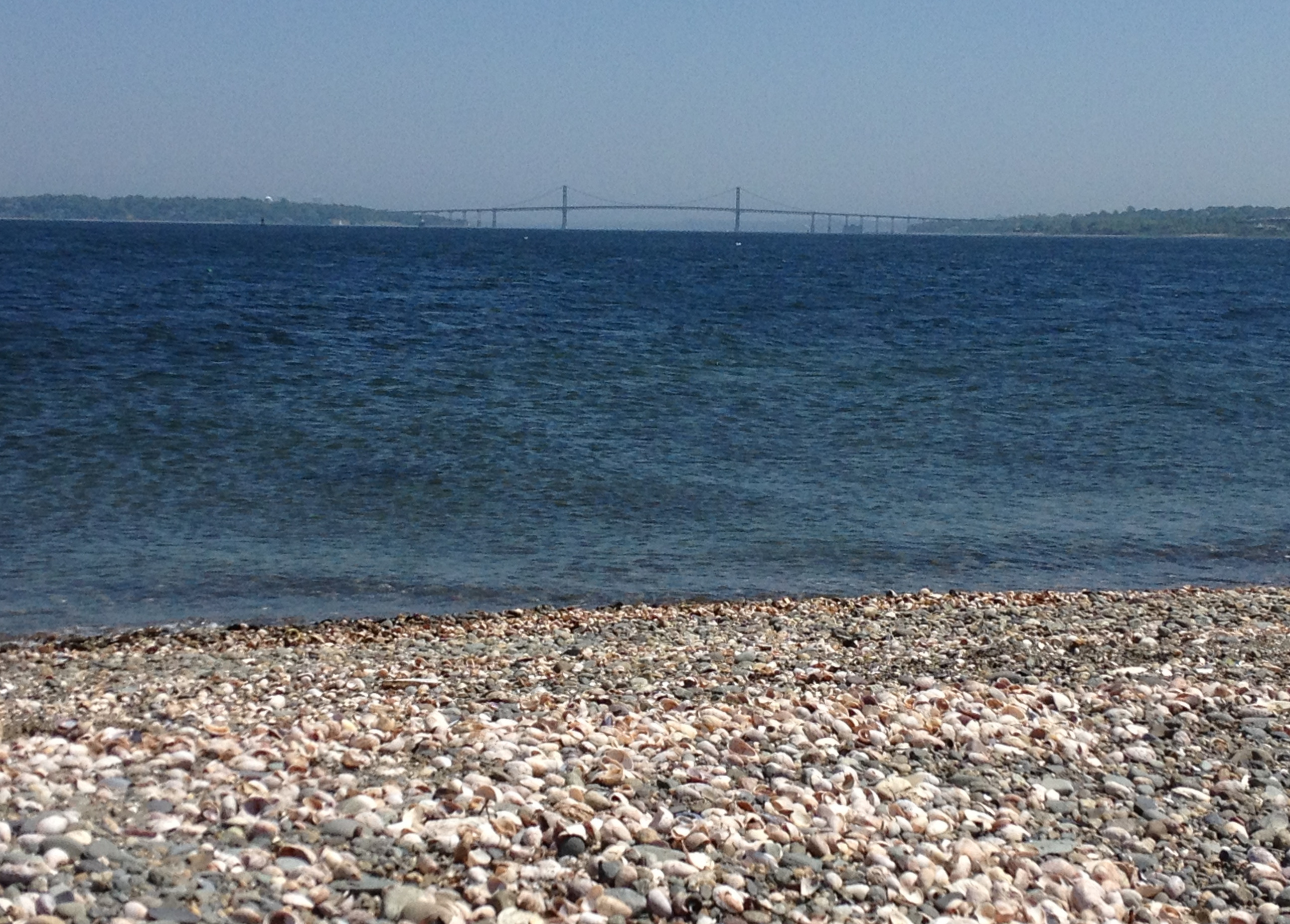
Prudence Island is as slow paced and as solitary as life can get here in the Ocean State. But the rest of Rhode Island is never really as far away as it may seem. Here’s the Mount Hope Bridge, connecting Bristol to Aquidneck Island, over a shell-filled beach.
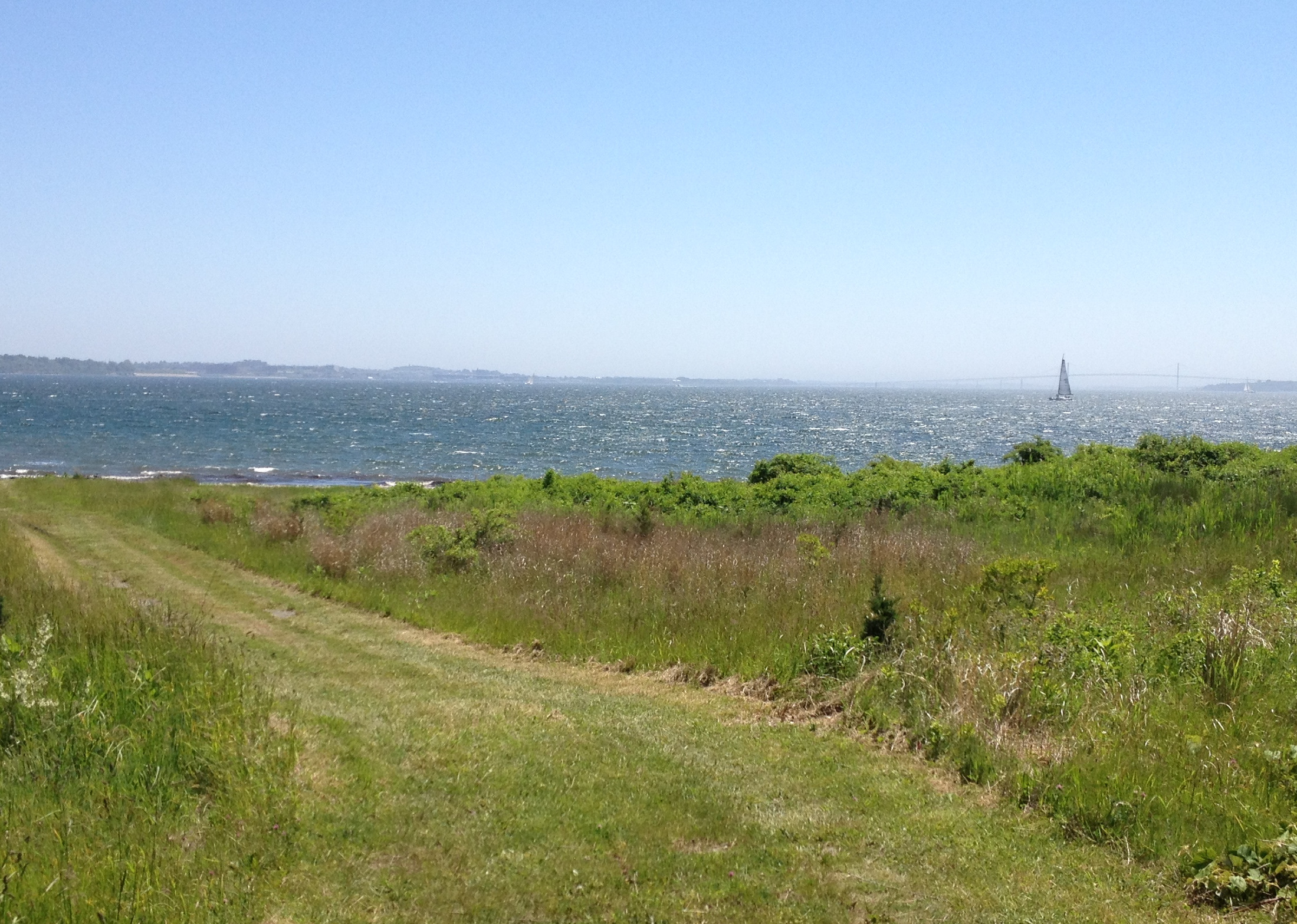
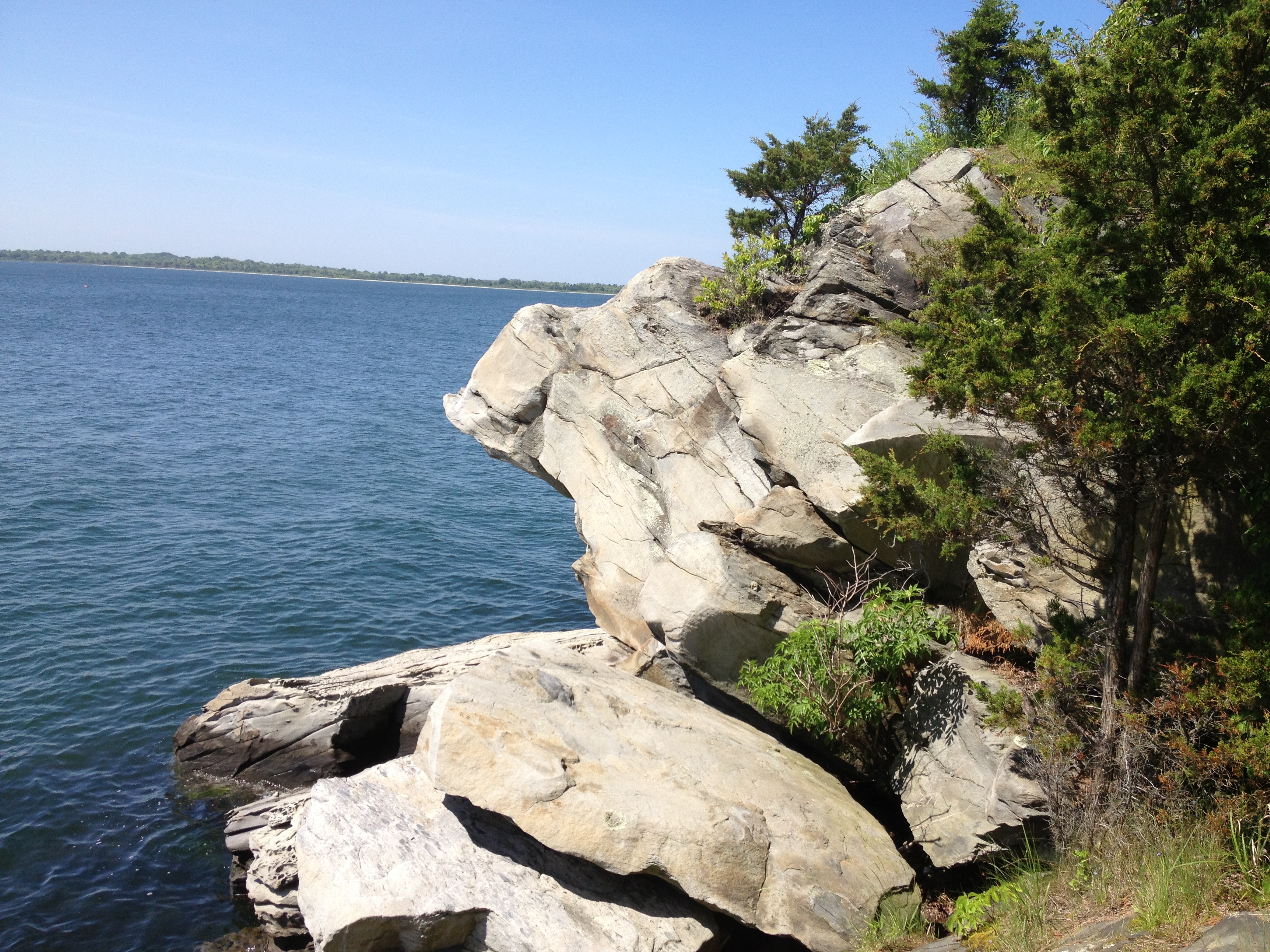
The Newport Bridge, barely visible through the haze, is due south. A full 70 percent of the island is conservation land, and the entire south side is a World War 2 ammunition dump-turned-federal conservation officially known as the Narragansett Bay National Estuarine Research Reserve.
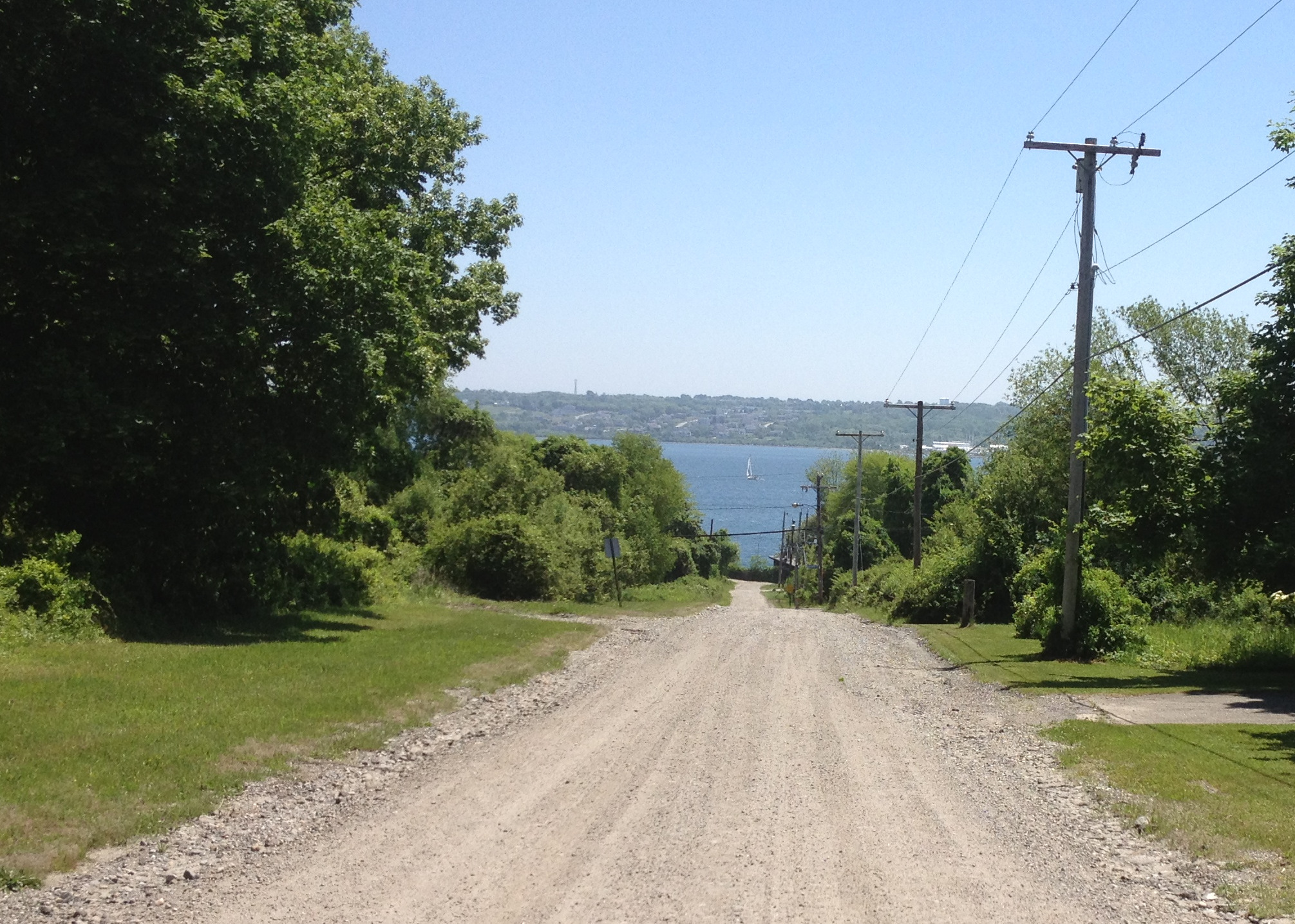
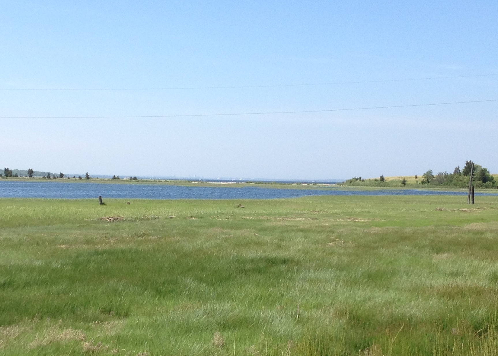
From other parts of Prudence Island, the Providence skyline can be seen in the distance. Look closely and you’ll see the Superman Building and a few other iconic downtown landmarks in the distance to the northwest over Jenny Pond.
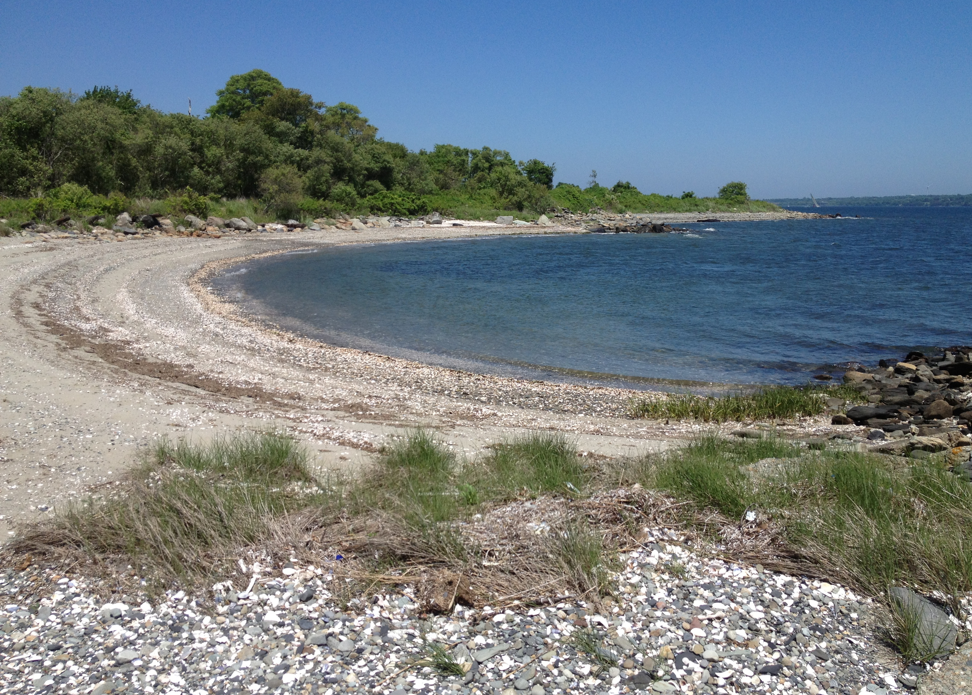
Mostly though, the island is littered with little half-moon-shaped beaches like this one, where I enjoyed the still cold water and a couple peanut butter sandwiches.
With only six hours before the ferry would strand me here I left the north and west sides of the island to explore another day. But from the tiny bit I saw on the gorgeous western side of the island, it looks like there is much more to be enjoyed on Prudence Island.
Deprecated: Function get_magic_quotes_gpc() is deprecated in /hermes/bosnacweb08/bosnacweb08bf/b1577/ipg.rifuturecom/RIFutureNew/wp-includes/formatting.php on line 4387
Deprecated: Function get_magic_quotes_gpc() is deprecated in /hermes/bosnacweb08/bosnacweb08bf/b1577/ipg.rifuturecom/RIFutureNew/wp-includes/formatting.php on line 4387
Deprecated: Function get_magic_quotes_gpc() is deprecated in /hermes/bosnacweb08/bosnacweb08bf/b1577/ipg.rifuturecom/RIFutureNew/wp-includes/formatting.php on line 4387